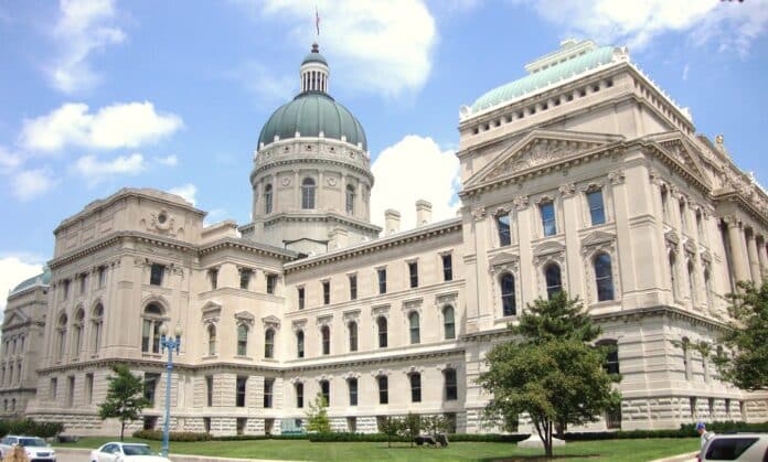
INDIANAPOLIS — The Indiana House of Representatives released proposed maps on Tuesday, Sept. 14, showing newly drawn boundaries for the state’s congressional and state House districts. Though the maps bring big changes for other parts of the state, Hancock County’s electoral boundaries would remain relatively stable.
If the proposed maps are adopted, Hancock County will remain in the 6th Congressional District, currently represented by Republican Rep. Greg Pence, and with its townships divided among state House districts 88, 53 and 54.
You can look at the proposed congressional map here. You can look at the proposed state House districts here.
The state legislature is headed back for a special session to vote on the new maps. Its usual process was delayed because COVID-19 held up the census collection process. Population numbers from the census are used once per decade to allocate U.S. House of Representatives seats and to create districts of similar size.
Rep. Bob Cherry, R-Greenfield, who represents District 53, said the House was set to vote on its maps during the week of Sept. 20.
If these maps are approved, most of Hancock County will remain in District 53, which will also include a portion of southern Madison County. Vernon Township, part of Buck Creek Township, and a portion of Center Township will be in District 88, represented by Republican Chris Jeter. Blue River Township would be in District 54, represented by Republican Thomas Saunders of Henry County.
Despite population growth in Hancock County, the district boundaries are similar to those drawn in 2011. The major difference is the shift of Blue River Township to District 54, shrinking the geographic size of the increasingly populous District 53.
All of Vernon Township and and most of Buck Creek Township would remain in Jeter’s district.
The proposed maps drew criticism from Democrats for some of the changes, most significantly the removal of a part of Marion County from the state’s 5th Congressional District. The move would give Republicans a more firm majority in the 5th District. Republican Rep. Victoria Spartz won a close race for control of the seat in 2020.
The state’s Democratic Party immediately criticized the proposed maps as an example of partisan gerrymandering. Party chair Mike Schmuhl said in a statement that the public didn’t have enough input on the maps.
“Indiana Republicans have once again manipulated our Hoosier democracy in this year’s redistricting period,” Schmuhl said. “Over the summer, they held shadow hearings that felt more like a comment box, promised a process that would be ‘fair’ and transparent’, and when it mattered most, manipulated the system once again to favor themselves over Hoosier voters. The Republicans’ new Indiana House and Congressional maps keep in place a broken system where self-serving politicians benefit at the expense of Indiana families.”
The state Republican Party released a statement saying the maps drawn are as good or better as the 2011 maps and that public input was taken into account.
Republicans currently control almost 75% of state House seats and seven of the nine congressional districts. The party’s supermajority in both houses of the state legislature allowed it to draw the proposed maps behind closed doors, and will likely allow them to pass even with no Democrats voting in favor.
The Senate’s proposed maps are set to be released next week.
The congressional and Indiana House maps were released little more than 24 hours before the start of a two-day public hearing by the House elections committee, which is scheduled to advance the proposals to the full House for votes next week. State Senate maps are set for release next week, with a final Senate vote expected Oct. 1.
The Associated Press contributed to this story.

